


Published on: 03/11/2026
This news was posted by Oregon Today News

Description
Researchers at Oregon State University are using satellite imaging to measure damage in Iran. The Conflict Ecology Lab works to assess the effect peace and conflict have on land. The lab has previously done work around Gaza, Ukraine and Sudan. Jamon Van Don Heok is an associate professor of geology and geopolitical sciences at OSU and leads the lab. He joins us to share more on what he’s seeing.
“Think Out Loud®” broadcasts live at noon every day and rebroadcasts at 8 p.m.
If you’d like to comment on any of the topics in this show or suggest a topic of your own, please get in touch with us on Facebook, send an email to [email protected], or you can leave a voicemail for us at 503-293-1983.
News Source : https://www.opb.org/article/2026/03/11/think-out-loud-osu-research-track-damage-iran-satellite-imaging/
Other Related News
03/11/2026
As tech companies roll out platforms specifically designed for health care consultation AI...
03/11/2026
LONDON Centuries of British political tradition will end within weeks after Parliament vo...
03/11/2026
If youre looking for a unique and fun full body workout try Nia The Bodys Way this spring...
03/11/2026
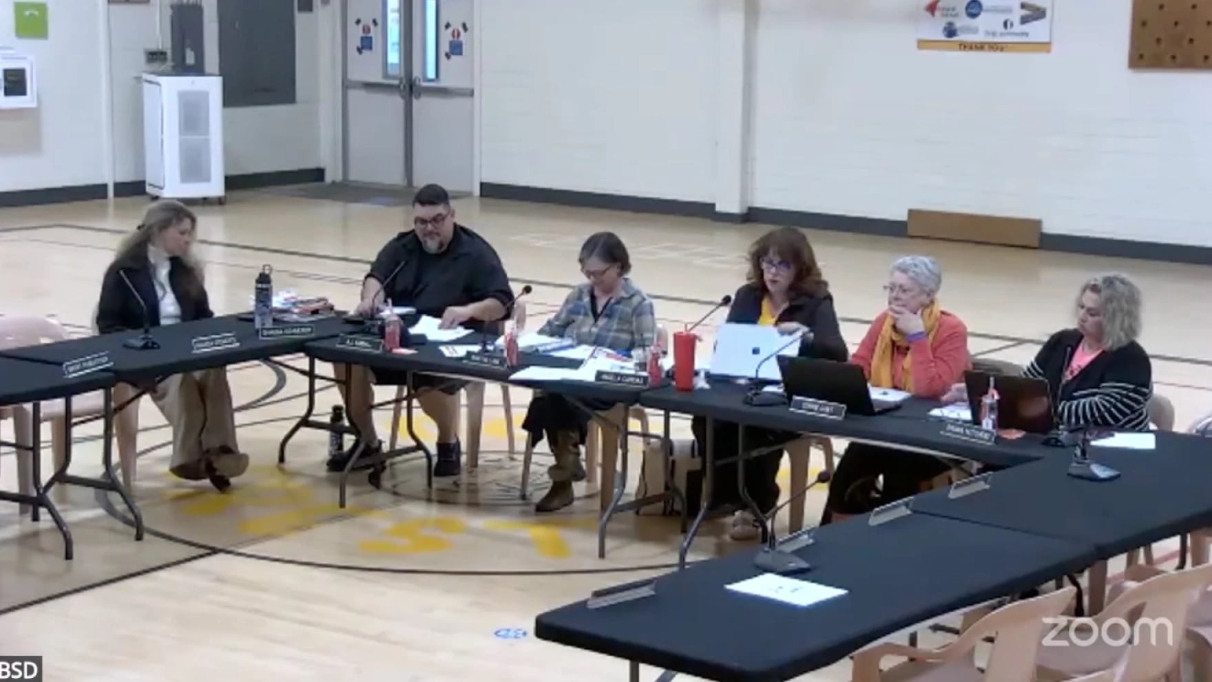
At a Monday meeting the Bandon School Board dismissed six complaints against board members...

03/11/2026
Oregon State University-Cascades is close to adding a student recreation and health center...
Follow

Download Our App


Copyright 2022 © EPUERTO. All Rights Reserved